Rutland Avenue Shared Path Project
Consultation has concluded
The Town of Victoria Park and the Department of Transport have partnered to deliver improved walking and cycling facilities along Rutland Avenue.
The aim of this project is to provide a safe and convenient connection for pedestrians and bike riders between the existing principal shared path (PSP) along the Graham Farmer Freeway and Welshpool Road.
The project has been split into four sections. Three of these sections will see the development of off-road shared paths and one section will result in a safe active street (SAS).
Sections from north to south are as follows:
- PSP: Goodwood Parade from Graham Farmer Freeway to Great Eastern Highway;
- SAS: Rutland Avenue from Great Eastern Highway to Roberts Road;
- PSP: Rutland Avenue from Roberts Road to Oats Street;
- PSP: Rutland Avenue from Oats Street to Welshpool Road.
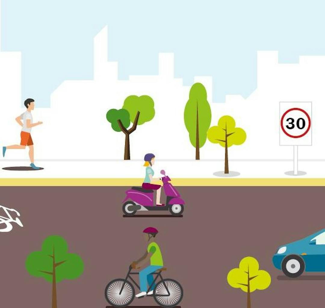
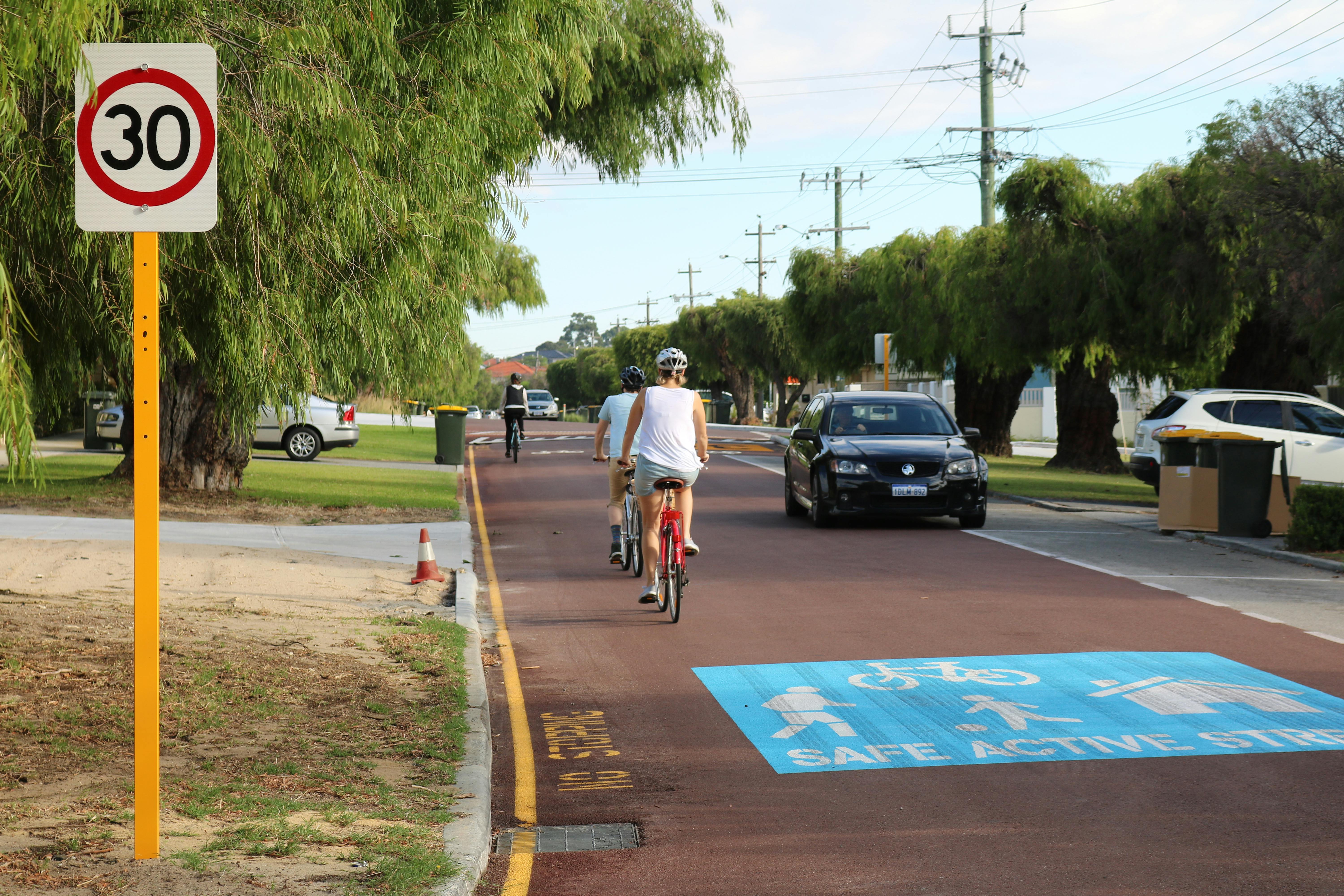
Safe active streets are quiet local roads designed to allow people walking, riding bicycles and driving cars to share the street safely. Vehicle speeds are reduced to 30 km/h and are complemented by traffic calming treatments to make the street safer and more comfortable for all members of the community, while still allowing vehicle traffic to move through.
These streets are an important new part of Perth’s transport network offering active transport connections between parks, local schools, local shops, business districts and where people live.
Principal shared paths are shared pedestrian and bicycle paths that primarily follow freeway and rail corridors, they have a high degree of separation from traffic utilising bridges and tunnels to bypass intersections where possible.
Unlike the three PSP sections, the SAS section will involve a significant change to the road environment to create a shared space. Due to this, and following the Department of Transport's SAS responsive design process, the Town seeked feedback from our community and commuters on the Rutland Avenue SAS. Feedback received will be used to inform the project design and delivery.
What is happening now?
Community consultation has now closed for this project and the engagement report has been uploaded. Thank you to everyone that was involved.
How can you get involved, find out more or provide feedback?
- Read the information in the document library here or FAQs.
Need more information? Ask us a question.
Signup Banner

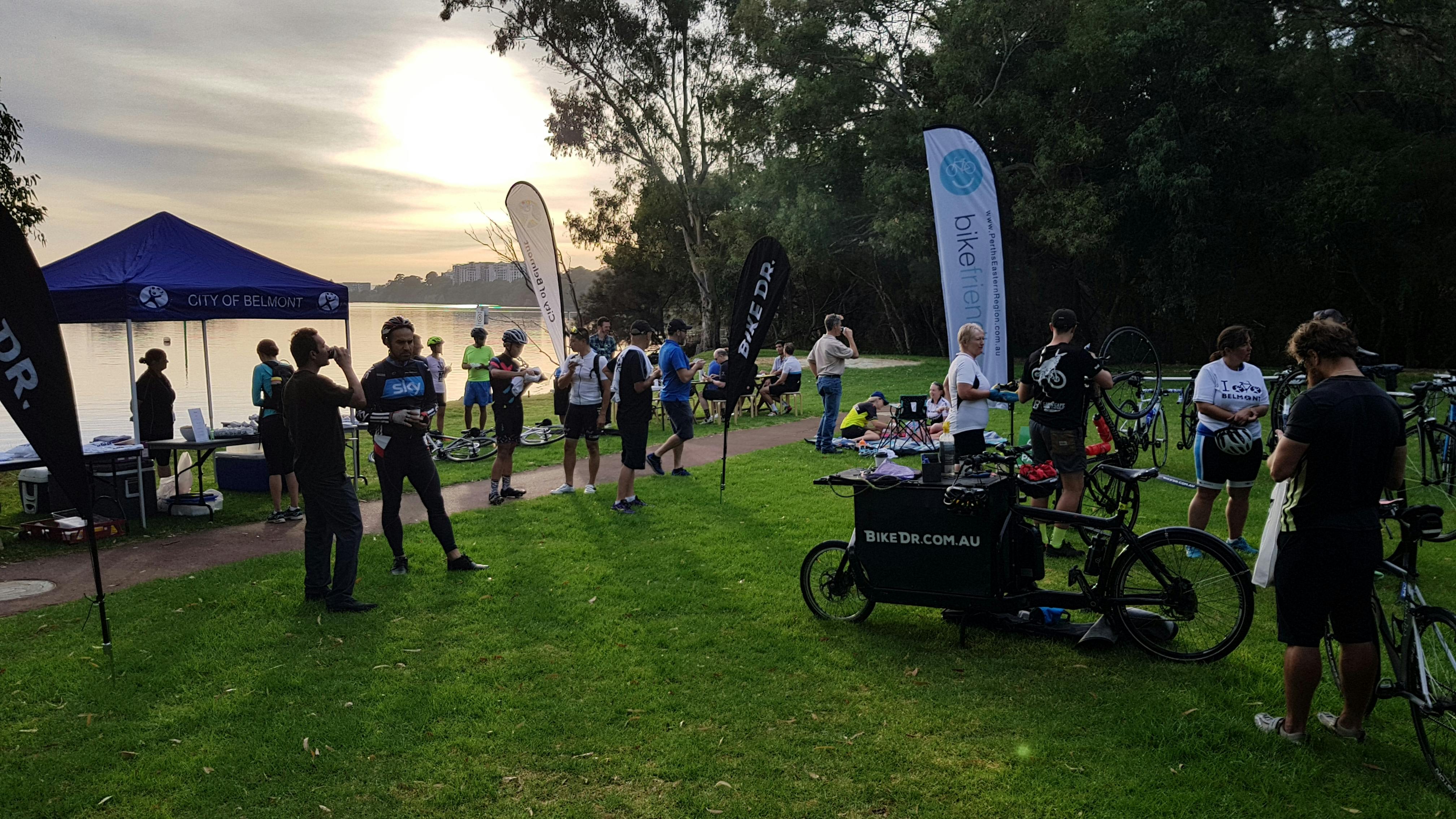
Photos


Who's listening
-
Phone 08 9311 8111 Email pbingham@vicpark.wa.gov.au -

Phone 08 9311 8111 Email hboyd@vicpark.wa.gov.au